

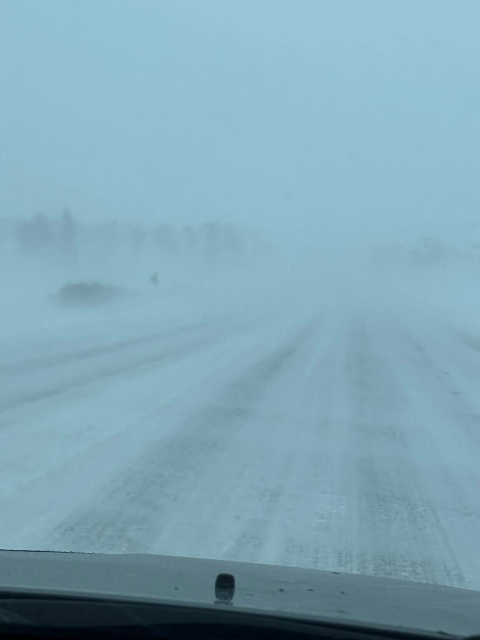
OSAGE — A powerful blizzard swept across northern Iowa late Sunday and into Monday, with conditions deteriorating rapidly by late Sunday morning as the first wave of snow moved into Mitchell County, bringing travel to a near standstill and producing some of the most dangerous winter weather the area has seen since 2019.
Light precipitation early Sunday quickly intensified by late morning, when strong northwest winds surged in behind a cold front. Visibility dropped sharply as blowing snow developed, and road conditions worsened within minutes across Mitchell County, particularly in open rural areas.
The storm forced the closure of large stretches of Interstate 35 across northern Iowa and into southern Minnesota, including more than 200 miles from Ames to the Minnesota border. The interstate was closed in both directions for extended periods as blowing snow and whiteout conditions made travel impossible.
Within Mitchell County, sustained winds of 40 mph with gusts exceeding 50 mph combined with 2 to 6 inches of snowfall to create near-zero visibility. Highways 9 and 218 were especially hard hit, with numerous motorists reported stranded. Emergency responders conducted multiple rescues as drifting snow repeatedly covered roadways and made travel treacherous.
The National Weather Service placed Mitchell County under a blizzard warning through the morning of Monday, Dec. 29, as part of a warning that covered 30 northern Iowa counties.
“Anticipate challenging to dangerous travel today and tonight, with travel discouraged in northern Iowa,” the weather service said.
While snowfall totals were not extreme by historical standards, officials said the strength of the winds was the primary driver of the storm’s severity. Plowed roads quickly drifted shut, and visibility fluctuated rapidly, creating hazardous conditions even for short trips.
U.S. Highway 18 was closed east of Clear Lake after accidents were reported in both directions. Across Iowa, the Iowa State Patrol said it investigated 31 crashes as of Sunday evening, including one fatal crash and eight crashes with injuries. No additional details were released.
As the cold front passed, temperatures dropped quickly and wind chills fell below zero across northern Iowa, adding to the danger for stranded motorists and first responders. An Iowa Department of Transportation camera along Interstate 35 showed near-whiteout conditions, with visibility reduced to only a few feet at times.
Although visibility began to improve Monday afternoon, officials cautioned that drifting snow, icy roadways and lingering wind continued to pose risks. Residents were urged to avoid unnecessary travel and to check road conditions before heading out.
Forecasters said conditions are expected to gradually improve later this week, with winds easing and temperatures returning closer to seasonal norms after a storm that effectively shut down much of northern Iowa as the final full week of the year began.
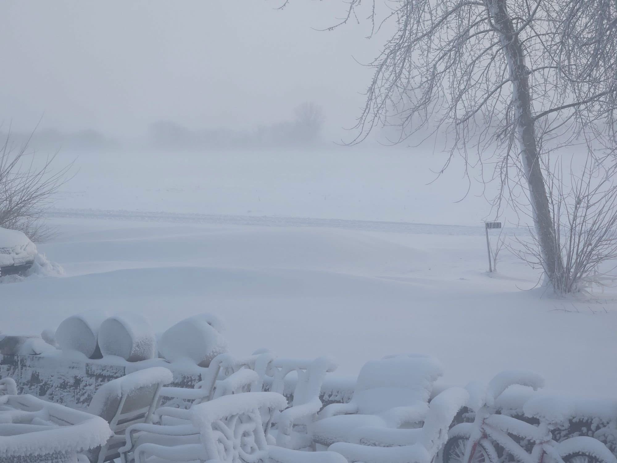
Todd Duncomb sent this photo of the blizzard conditions outside of his home Monday morning